1. The Task
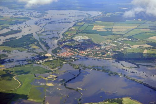
euroluftbild.de/Grahn, Hochwasser Elbe 2013-06-10, CC BY-SA 3.0 DE
Hello!
You probably hear about floods in the media every year. It is a natural hazard that affects people who live on large rivers very directly. And if you want to build on the river, you should be aware of this danger. But how can you take floods into account when planning buildings? Let’s give it a try
The Letter
Read the Letter!
Use the marker in the analysis tool to mark the approximate location of the point described in the text. Then confirm briefly below to go to the next chapter.
![]() Marker
Marker

Eotools – hello from the saved content!
H 5 P Insert – hello from the saved content!
2. The DEM
The right data for the task
For a site analysis, information about the terrain height is important. These are made available to you as a so-called digital terrain model (DTM). The short animation shows you how such a data set is created with the help of a laser scanner.
Such a DEM is the method of choice for analyzing the risk of flooding. So you should know how to use it.
Eotools – hello from the saved content!
DEM
A DEM from Bonn is loaded in the analysis tool. Examine it with the eyedropper tool . And answer the quiz.
![]() You can use the eyedropper tool to read information in the image.
You can use the eyedropper tool to read information in the image.
H 5 P Insert – hello from the saved content!
H 5 P Insert – hello from the saved content!
3. Hochwassergefahr
Flood Scenarios
When planning new buildings near bodies of water, it is necessary to determine how often these can be affected by flooding. To either plan appropriate protective measures or, if flooding is a frequent problem, to choose a different location because the costs incurred do not justify the advantages of being close to the water.
Flood hazard maps, which show whether and how often an area is affected by flooding, help with the assessment.
Flood Hazard Maps
The Rhine value of 45m above sea level measured in the DGM corresponds to the mean water level.
But what happens when high water events exceed this mean water level?
Use the tool to create flood maps for a 2, 10 and 20 year flood!
- >= frequently – Small flood + 6m
- >= severe- Mean high tide +8 m
- >= extreme – Major flood +10 m
Eotools – hello from the saved content!
H 5 P Insert – hello from the saved content!
Flood risk and man-made factors
Floods and Humakind
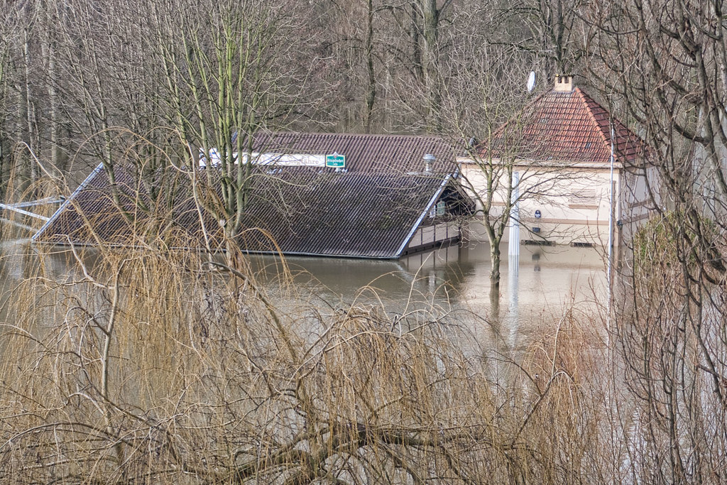
Flooding is a natural phenomenon. Rivers overflow their banks seasonally, i.e. depending on seasonal changes. This happens as a result of long-lasting or sudden heavy precipitation. The soils, which actually absorb large amounts of water, are saturated and the rainwater flows directly into the rivers and their tributaries. The naturally meandering middle reaches of the rivers flood areas near the banks and create floodplain landscapes. This does not pose a threat to the flora and fauna of these regions. They are adapted to this process and in some cases even dependent on it. Flooding is also a constant companion in human history. Regions close to the shore are advantageous settlement areas in many respects and people deliberately exposed themselves to the floods. And the phenomenon of flooding became the danger of flooding for people.
Over the millennia, settlers grappled with the problem. But it is the human activities of the last 200 years that have had a significant impact on today’s flood situation. In the interaction you can find out which factors influence the risk of flooding.
Repository – hello from the saved content!